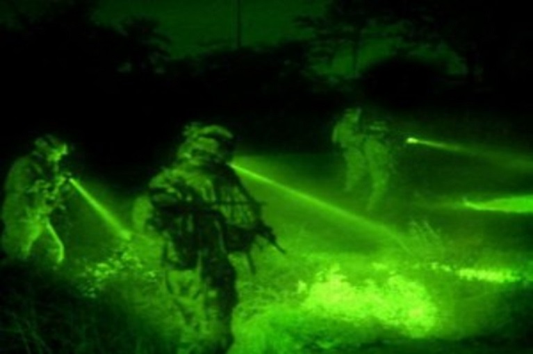
OWL (Night Vision Integration)
The “OWL” integrates smart technology, in which our GIS and imaging specialists partner with our client to integrate the night vision capabilities of thermal imaging devices with GIS maps.
2022 @ Raksha Research & Development LLP.Design & Developed by GoMap